Metaspectral Fusion is currently applied across different industries
We are industry agnostic and open to new opportunities. See below for our current applications.RECYCLING
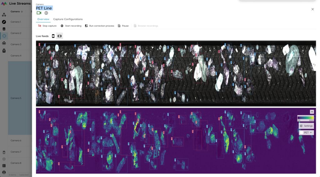
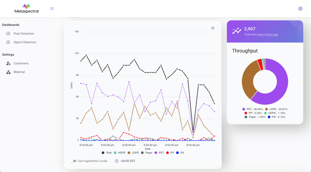
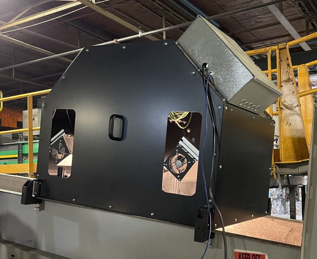


Detect materials of all kinds, pixel-by-pixel: Transparent, Black or Mixed Polymer
Easy installation, Detect any polymer
Metaspectral's vision system for the recycling industry is designed to be installed on top of any conveyor belt. It detects all types of polymers, regardless of its condition (wet, dirty, perforated, etc.). Whether material is transparent, black, or mixed polymer, Metaspectral's Fusion platform detects and distinguishes the various types for accurate sorting at the molecular level.
Deeper into the infrared
Metaspectral's vision system is customizable according to the task at hand, providing the capability to gain visibility in the NIR (900 – 1700 nm), SWIR (1000 – 2500 nm) or MWIR (2700 – 5300 nm) ranges of the electromagnetic spectrum.
SPACE
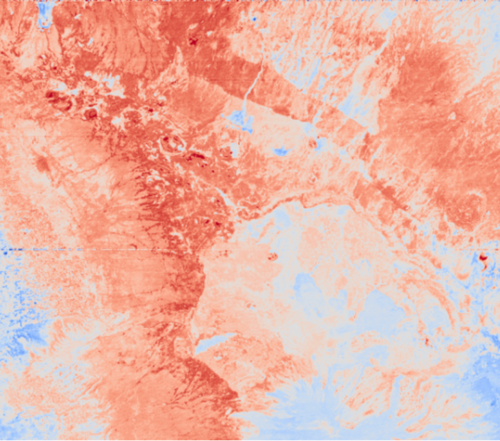
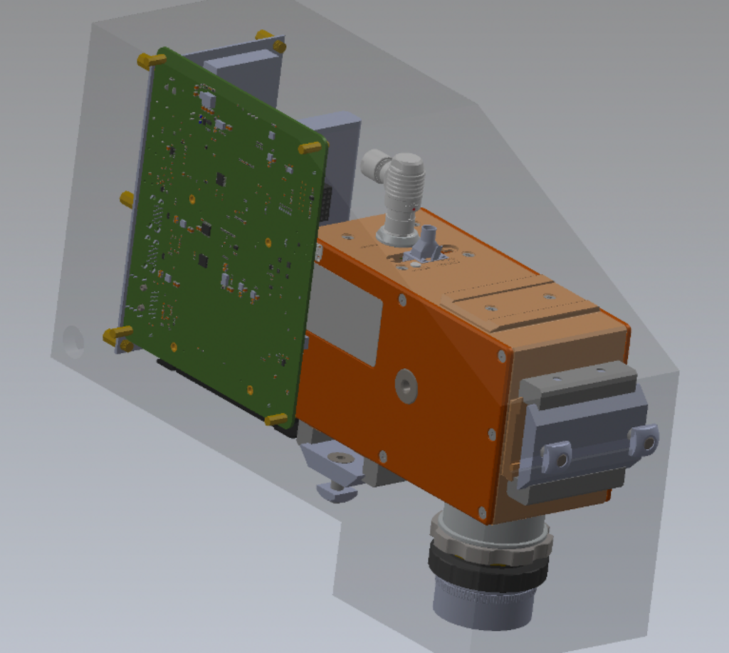


Earth Observation (EO) Data Analysis and Space-rated Payloads
Hyperspectral EO Data Analysis
Whether legacy data from NASA's Hyperion EO-1, or current data from Italian Space Agency's PRISMA or German EnMAP satellites, analyze it at sub-pixel levels using purpose-built Deep Learning algorithms.
Space-rated Payloads
Building on the design of the OPTICA sensor sent to the International Space Station (ISS), Metaspectral provides space-qualified payloads for integration to your space mission. Complete with optics and on-board computers, or customized with specialized hardware, Metaspectral's payloads come built-in with its world-leading data compression and streaming capabilities.
Many Applications
Our project with the Canadian Space Agency (CSA) to quantify Total Carbon (TC) at Earth's surface using satellite hyperspectral data makes use of Metaspectral's Fusion platform. AI models were developed to quantify moisture content, determine nutrient levels, and detect diseases in farms.
DEFENCE
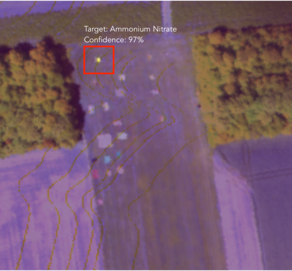
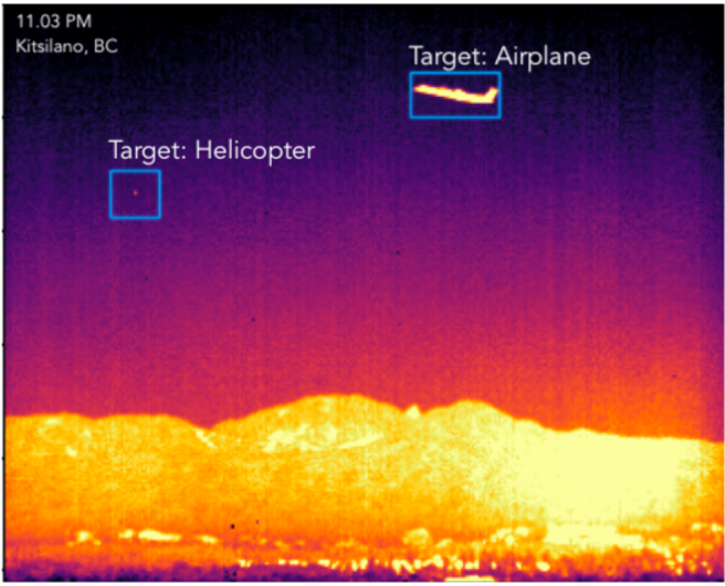


Spatial & Spectral Analysis for National Security
Detect CBRN Material (Chemical, Biological, Radiological and Nuclear)
Through spectral analysis on Short-Wave Infrared (SWIR), Mid-Wave Infrared (MWIR) and Long-Wave Infrared (LWIR) hyperspectral data, Metaspectral's software is capable of detecting CBRN signatures with high accuracy.
Spatial Analysis for Shape Detection
By performing analysis on both spatial and spectral dimensions, Metaspectral's Fusion software is able to not only detect polymers and materials, but also detect the shape of a given object.
Edge-Computing
By enabling edge-processing, Metaspectral guarantees that the software will function even in situations where no reliable network connection exists. This enables the warfighter to function at the tactical edge, where adversaries exert efforts to jam or deny communications.
ENVIRONMENT
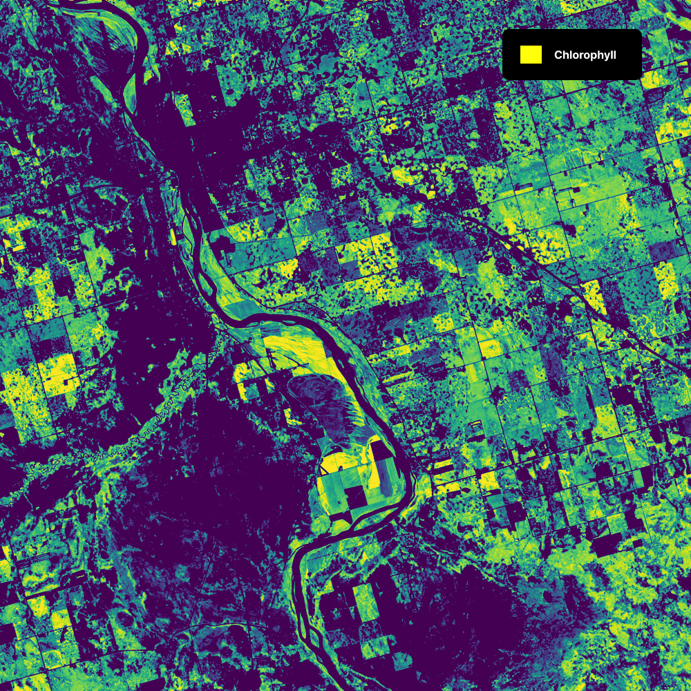
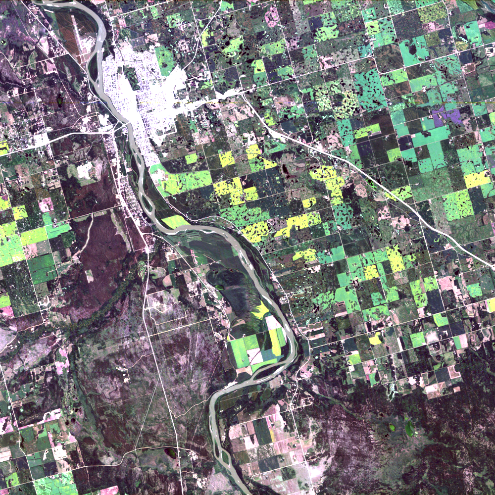


Universal Remote Sensing: Aerial, Orbital, or Field-Deployed
Precision Agriculture
Detect crop diseases before they're visible to the naked eye. Apply fertilizer only when/where necessary. Take hyper-localized, targeted actions on your farm such as knowing exactly how much to water your crops or when to act quick to prevent the spread of disease.
Environmental Monitoring
Create environmental models for greenhouse-gas mapping, quantifying carbon sequestration, measuring chlorophyll levels or measuring soil moisture content.
Wildfire Mapping & Threat Modelling
Quantify the available fuel sources for a wildfire using satellite or aerial hyperspectral data. Model emerging threats and proactively manage forest resources using controlled burns or other remedies.
