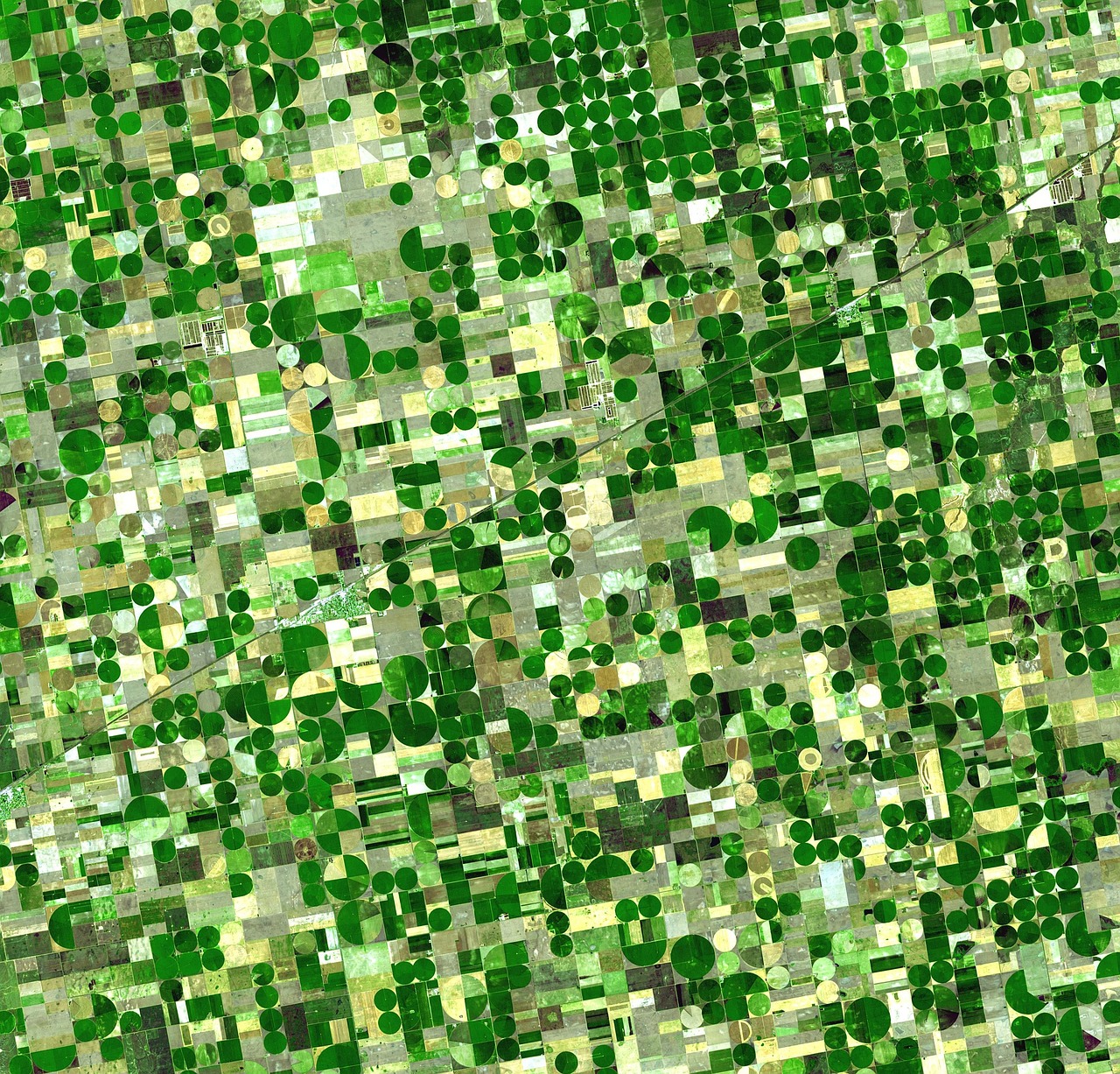
Turn spectral signals into field priorities.
Clarity AI connects imagery, agronomic context, analysis, and review so the output helps decide where to look and what to investigate next.
Find signals worth investigating
Map stress, pigment, moisture, and soil-related variation that may be difficult to distinguish in standard imagery.
Prioritize limited field time
Rank fields or zones for scouting, sampling, irrigation, nutrient, or disease review.
Compare change over time
Repeat the approved workflow across new acquisitions to track whether conditions are improving, stable, or worsening.
From imagery to field action.
1Start with a useful question
Define the crop, geography, timing, known conditions, and action the result should support before choosing data or methods.
2Use more than one analytical path
Combine familiar vegetation indices and classical analysis with patented spectral unmixing and trained models where they add value.
3Ground the result in agronomy
Build and validate the workflow with your agronomists or ours, preserving assumptions, field observations, and the evidence behind each output.
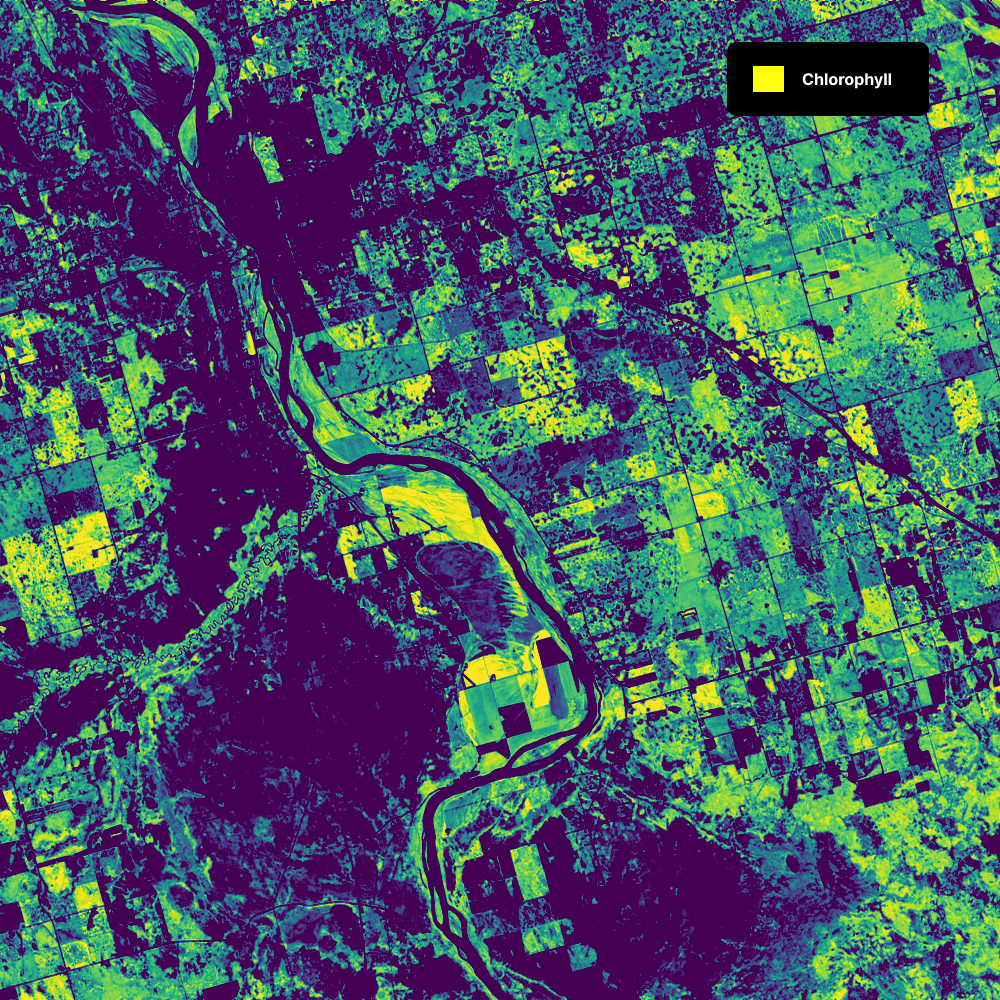
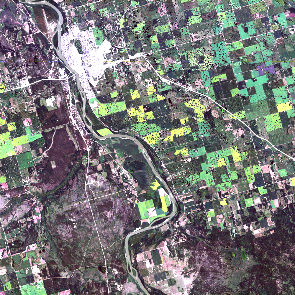
A crop-stress or biochemical-change layer with source imagery, confidence context, provenance, and an agronomy summary tied to the field decision in scope.
Discuss an Agriculture ProjectBuild a repeatable monitoring workflow.
Start with a field decision, choose imagery that can support it, and validate the analysis against agronomic evidence.
1. Define the Decision
Specify the crop, fields, timing, known conditions, and scouting or management question.
2. Select the Data
Assess owned imagery or source suitable satellite, airborne, or drone coverage for the question.
3. Validate and Repeat
Compare results with field observations, approve the workflow, and repeat it as new imagery arrives.
Questions teams ask before getting started
Can Clarity AI help us choose or source imagery?
Yes. We assess whether satellite, airborne, drone, or imagery you already own has the spectral coverage, spatial resolution, quality, and timing needed for the crop and field decision.
What does an agriculture project deliver?
A package with a crop-stress or biochemical-change layer, supporting spectral context, workflow-fit notes, and a next-step recommendation for the agronomic use case.
How is success judged?
Success can include earlier stress detection, rare or hidden signal detection, analyst time saved, decision usefulness, output quality, and fit with the agronomic workflow already in place.
What is the minimum dataset needed?
The starting dataset depends on crop type, geography, timing, and the monitoring objective. We can define a practical first project around imagery and field evidence you already have.
Can this fit our existing workflow?
Yes. Clarity AI can be configured around your data, agronomic methods, field observations, review process, and operating workflow.