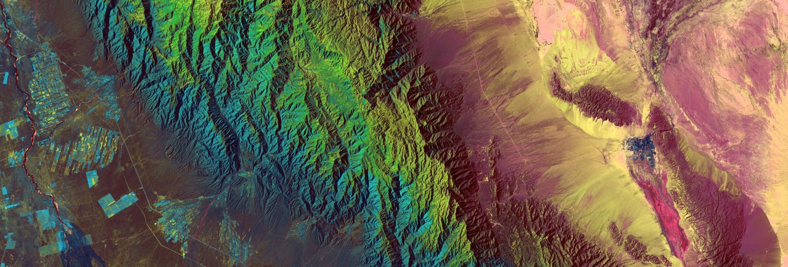
Know where wildfire risk is building. See where action matters.
Clarity AI reveals changing fuel and vegetation conditions, surfaces meaningful fire-related change, and maps burn severity and recovery—giving teams clearer priorities before, during, and after an incident.
Before, during, and after a wildfire.
Clarity AI uses the available evidence to reveal vegetation condition before a fire, meaningful change during it, and material-level effects after it.
Prioritize where prevention matters
Identify changing vegetation moisture, stress, condition, and fuel-related indicators so teams can better target field inspections, fuel treatment, and preparedness.
Distinguish meaningful change
Use compatible infrared observations to surface candidate fire activity and burned ground, including where smoke obscures natural-colour imagery, then track change as new coverage becomes available.
Map severity, not just the perimeter
Distinguish ash, exposed soil, scorched vegetation, and surviving vegetation to support impact assessment, stabilization, watershed review, restoration, and recovery monitoring.
A clearer answer to what needs attention.
Prioritized risk maps
Focus attention on areas where supported fuel and vegetation indicators warrant closer review.
Candidate-event alerts
Bring potential fire signals and their supporting evidence into a reviewable workflow.
Change assessments
Compare imagery over time to characterize landscape change before, during, and after an incident.
Decision-ready delivery
Deliver reviewed maps, alerts, and assessments into the tools operational teams already use.
Put Clarity AI to work on your territory.
Start with the region, available imagery, and wildfire decisions that matter to your team. Metaspectral's remote-sensing team can configure and validate Clarity AI with your experts, then deliver the outputs your organization needs without leaving you to assemble the solution yourself.
Metaspectral's team qualified for the XPRIZE Wildfire Space-Based Detection & Intelligence track under the SpectraCan name. That work informs Clarity AI's approach; delivery timing depends on the imagery and deployment used for each implementation.
Get a clearer view of wildfire risk across your territory.
Tell us where you need better visibility. We’ll show how Clarity AI can turn relevant imagery into wildfire intelligence your team can review and act on.
Request a Wildfire Demo