Measuring Ground-Level Carbon from Space
A prime use case for Metaspectral Fusion platform is to accurately quantify levels of carbon at ground-elevation using hyperspectral sensors operating in Low-Earth Orbit (LEO). Carbon is a critical component of the Earth’s climate system and plays a key role in regulating the planet’s temperature. Knowing the amount of carbon stored in the Earth’s vegetation and soil, therefore, as well as the amount of carbon present in Earth’s atmosphere, is crucial for understanding Earth’s climate and its potential impact on the environment and human populations.
Migel Tissera
A prime use case for Metaspectral Fusion platform is to accurately quantify levels of carbon at ground-elevation using hyperspectral sensors operating in Low-Earth Orbit (LEO). Carbon is a critical component of the Earth’s climate system and plays a key role in regulating the planet’s temperature. Knowing the amount of carbon stored in the Earth’s vegetation and soil, therefore, as well as the amount of carbon present in Earth’s atmosphere, is crucial for understanding Earth’s climate and its potential impact on the environment and human populations.
Traditional methods of carbon quantification rely on ground-based measurements, which are limited by factors such as accessibility, duration, and weather conditions. These methods are thus time-consuming and costly, and are often only able to provide a limited spatial coverage of the Earth’s surface. Additionally, ground-based measurements are affected by factors such as canopy cover and topography, which make it difficult to obtain accurate and reliable measurements. Finally, field measurements can be cost prohibitive, since a large number of instruments are required to cover large swaths of land. Due to these scaling issues, ground-based measurements are not sufficient to capture the dynamics of carbon cycles on large swaths of land, let alone at a global scale.
Remote sensing techniques such as hyperspectral imagery, on the other hand, provides a more comprehensive, accurate, timely, and global view of Earth’s carbon. Hyperspectral sensors capture light across a wide range of wavelengths, which allows for a highly detailed and accurate chemical characterization of the area being imaged. The data produced by these sensors, known as hyperspectral data, can be used to identify and map the presence of specific materials, such as minerals, different species of vegetation, off-gassing or water bodies, based solely on how light is reflected back at the various wavelengths being captured.
Our approach
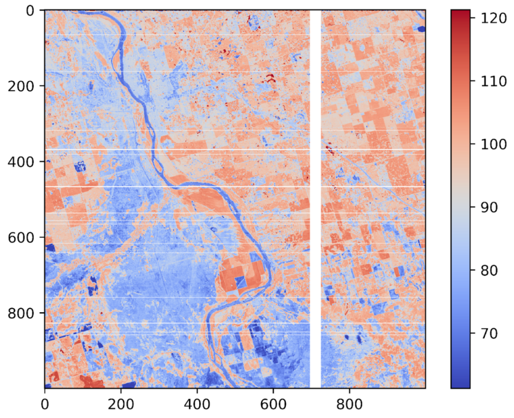
At-sensor hyperspectral radiance data from two satellites, Hyperion (NASA, decommissioned) and PRISMA (Italian Space Agency, active), along with ground-truth (ground-level carbon) data from the Total Carbon Column Observing Network (TCCON) were loaded into Metaspectral’s Fusion software. A dataset designed specifically for training a deep learning based regression model on the ground-truth carbon data was then instantiated directly on the Fusion platform.
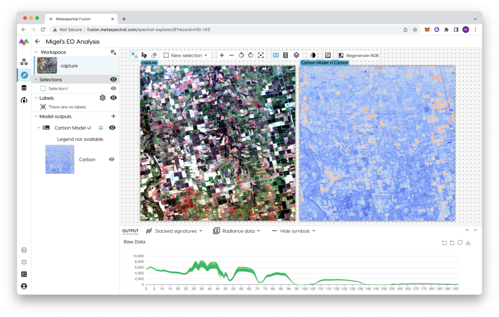
Metaspectral Fusion: Exploring PRISMA images on the Spectral Explorer
Since Metaspectral’s Fusion software is cloud native, no data download or specialized hardware was required at any point in the process. The deep learning model was trained exclusively on data from a single LEO imager (i.e Hyperion), while data from another imager (PRISMA) was left specifically for validation and testing purposes.
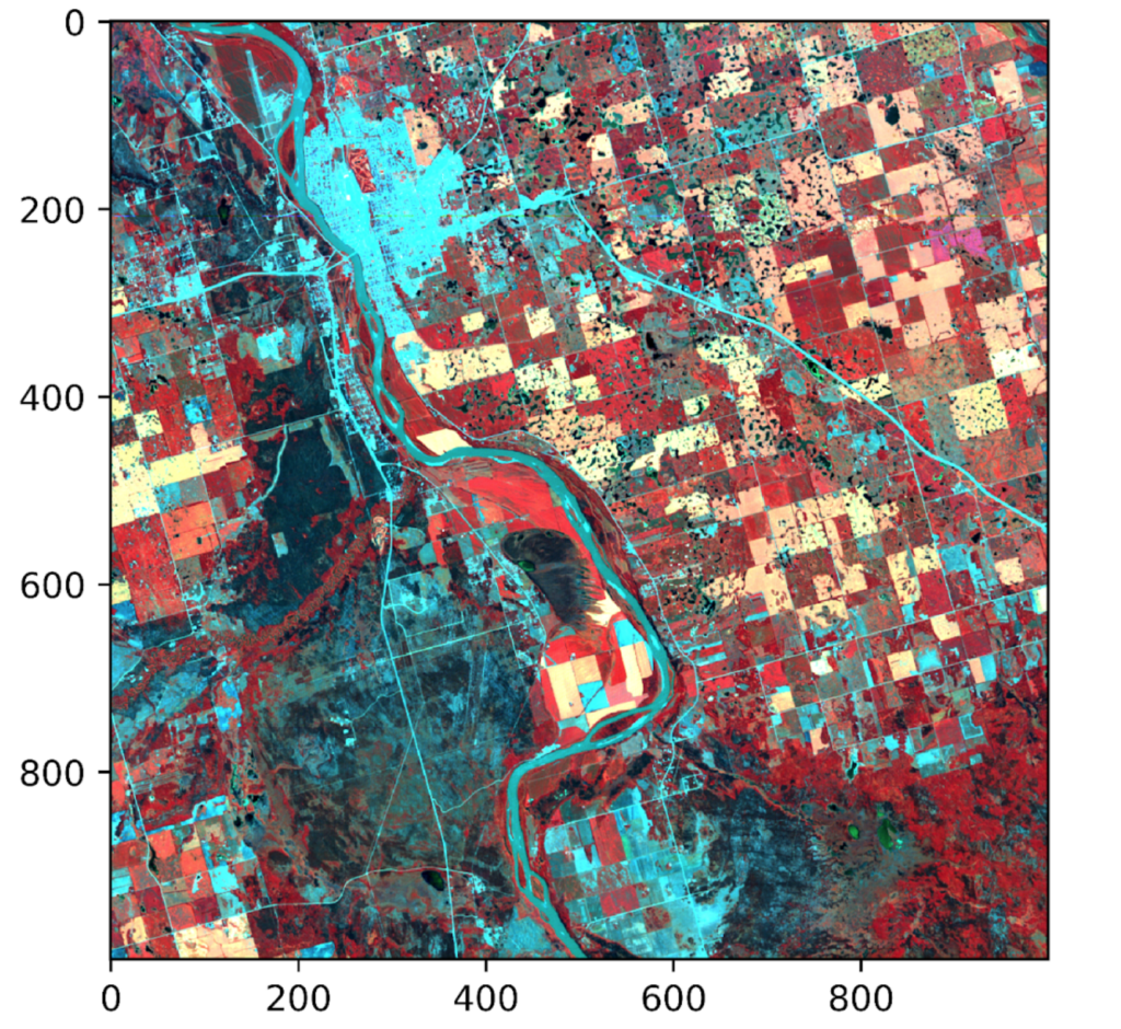
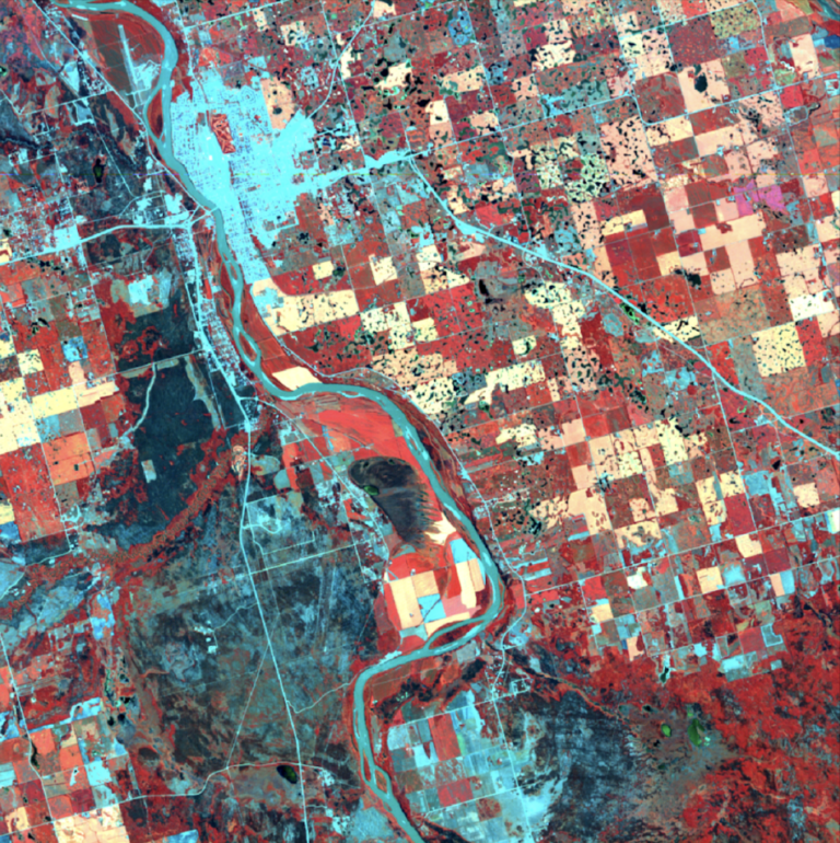
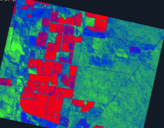
PRISMA HSI scan of farm land acquired on the 01-Aug-2022 in Saskatoon, Canada
The accuracy of the deep learning model was validated across ground-truth levels of CO2, CH4, and N2O, another greenhouse gas 300 times more potent than CO2. Detailed performance results are shown below:
| CO2 | CH4 | N2O | |
|---|---|---|---|
| Deep Learning Model Error Margin | 3.1% | 4.7% | 4.7% |
Deep Learning Model Testing
CO2, mean prediction value 403 ppm
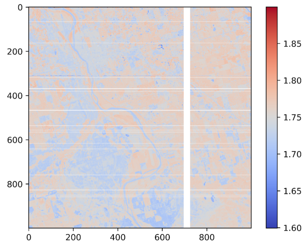
CH4, Mean prediction value 1.75 ppm
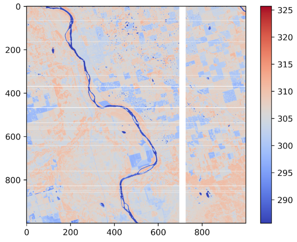
N2O, Mean prediction value 305 ppb
The fact that the deep learning model was trained on data from a particular LEO sensor, and validated on that from another LEO sensor altogether with different resolutions and wavelengths is a testament to the deep learning model’s robustness. The model was proven to be sensor-agnostic, and usable with data from any sensor capturing imagery in the 400-2500 nm wavelength range.
Metaspectral’s novel approach for quantifying carbon levels at Earth’s surface using hyperspectral sensors in Low-Earth Orbit can be a vital tool to improve our understanding of the Earth’s climate and its potential impacts on the environment and human populations. Metaspectral’s Fusion software was critical in the development process to rapidly and easily train, validate, and iterate deep learning models trained on the vast amount of data generated by hyperspectral sensors. Sign up for early access here.
Talk to Metaspectral about your use case.
Bring us your material stream, imagery, or operational question and we will help scope the next evaluation.
Related Resources
More product thinking and reference material from the Metaspectral team.
Seeing beyond the bands
Where hyperspectral analysis diverges from multispectral — and what that divergence reveals about a crop. Measured on real scenes.
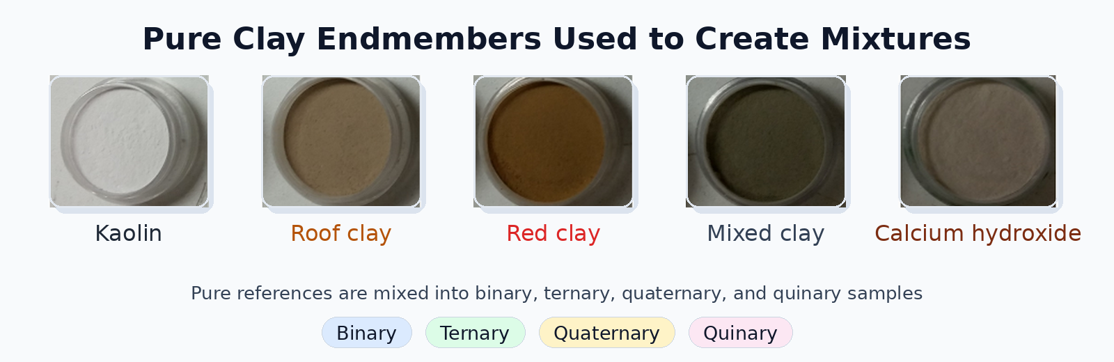
Evaluating Deep Learning Spectral Unmixing From Pure Reference Spectra
A deep learning model trained only on synthetic mixtures — generated from pure reference spectra — outperforms classical solvers on four- and five-material mixtures across nine sensors. The benchmark: 325 real clay powder mixtures measured by lab spectrometers, pushbroom cameras, snapshot cameras, MWIR, and RGB.
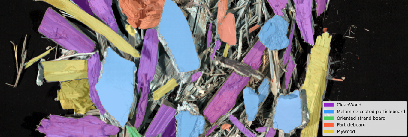
Automated Classification of Waste Wood Composites: An Evaluation of Hyperspectral Imaging and Deep Learning Pipelines
New collaborative research between UBC and Metaspectral evaluates near-infrared hyperspectral imaging and deep learning pipelines for automated classification of post-consumer waste wood composites, achieving up to 100% accuracy under controlled conditions and 91.2% on real landfill material.